

- Replies 128
- Views 9.3k
- Created
- Last Reply
Top Posters In This Topic
-
Mopar1973Man 35 posts
-
Doubletrouble 23 posts
-
JAG1 18 posts
-
Max Tune 14 posts


Most Popular Posts
-
I am currently halfway through my firewood. The extreme heat we had sure did season it well in one summer. We reached 116 degrees for the hottest day breaking all time statewide records. N
-
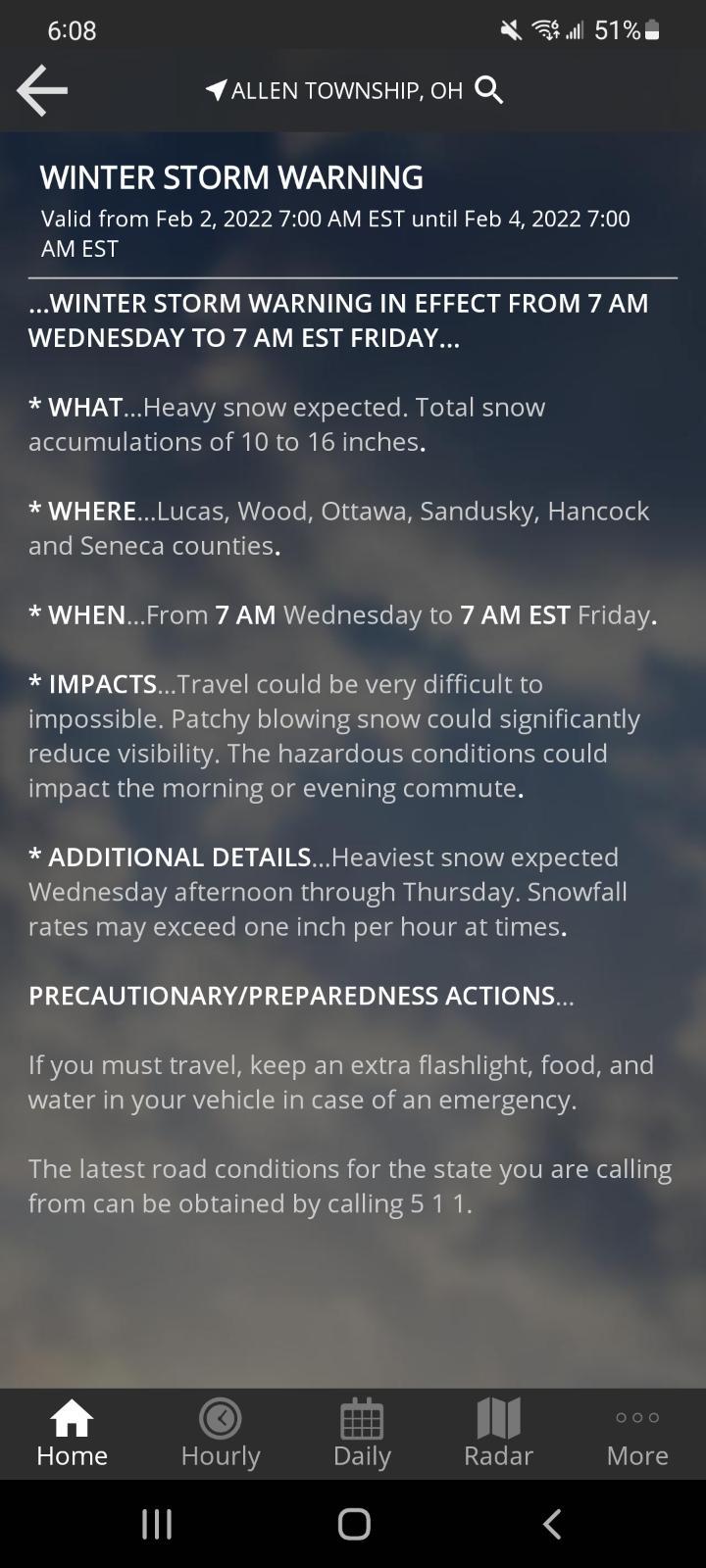
Winter arriving a little late here in Colorado, started snowing Tuesday, Only dropping 3 or 4” everyday until Thursday night then 20” overnight, it’s pretty much out of here until the next system arri
-
12-16-21 we hit almost 60°f in New England, specifically southern CT. A couple weeks ago we had 8 tornadoes come across northern ct and eastern mass with a cold front (nothing more than EF1) . We have

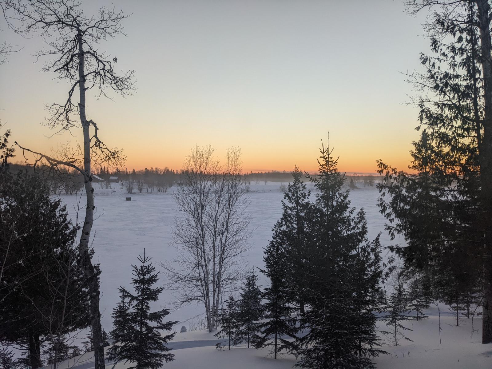
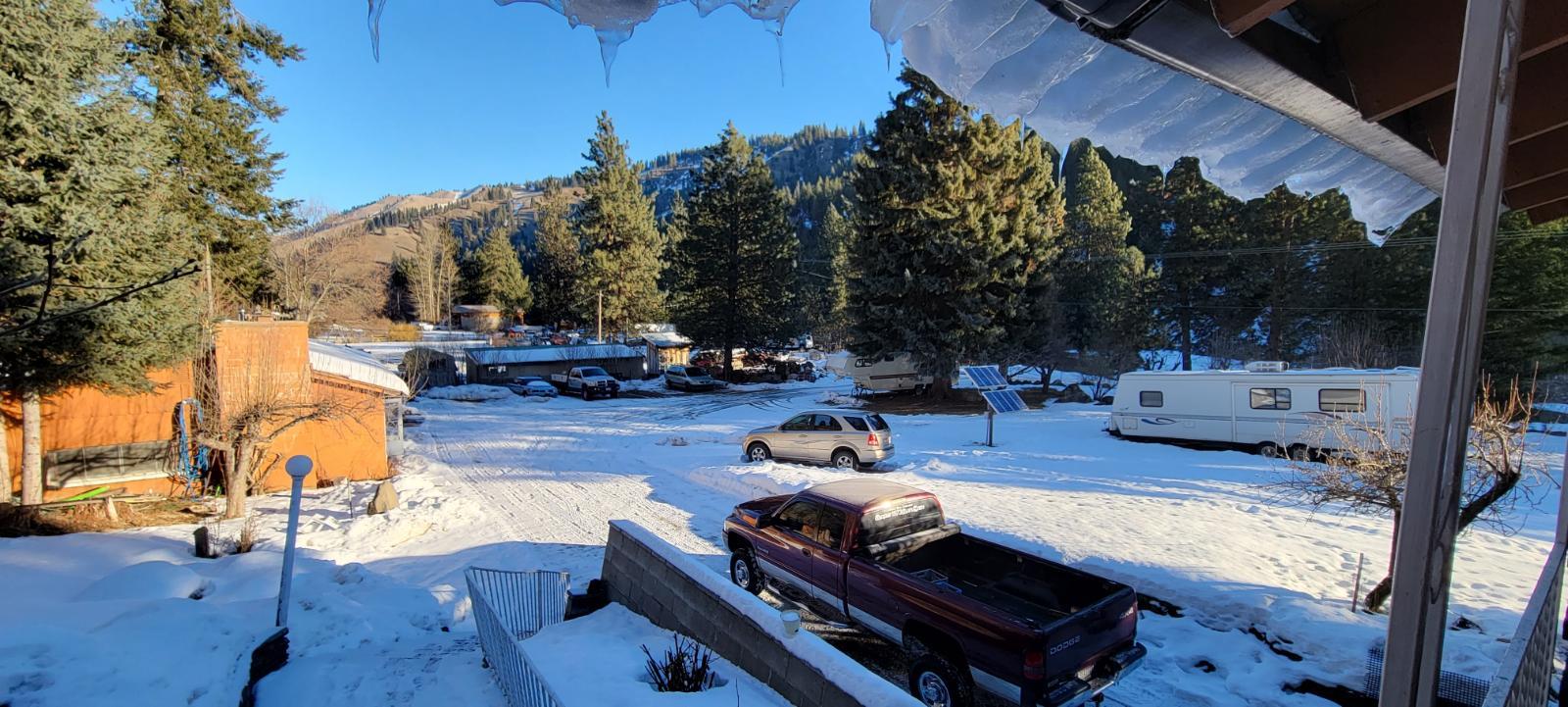
I've got to ask other members here, "what your are seeing for winter weather?"
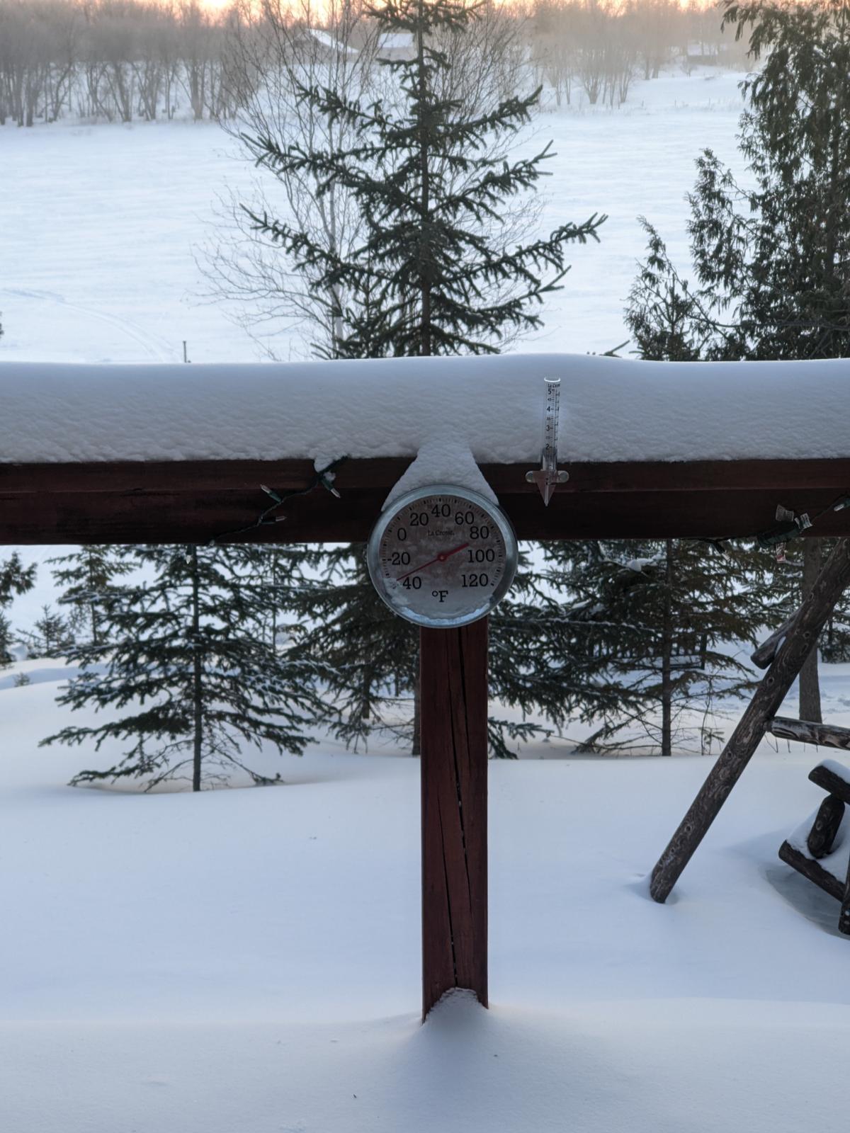
Here in Central Idaho we've seen snow storm blow over but not drop much snow in the valley floor. The mountains around me are dusted in snow. Nothing deep once again. The temperature has dropped to 24*F above. Everything is frosted this morning and cold. Now I've talked to a friend down in the Parma area and he's had already a good 2 to 3 inches of snow but next day melted off.